

Pameli concept
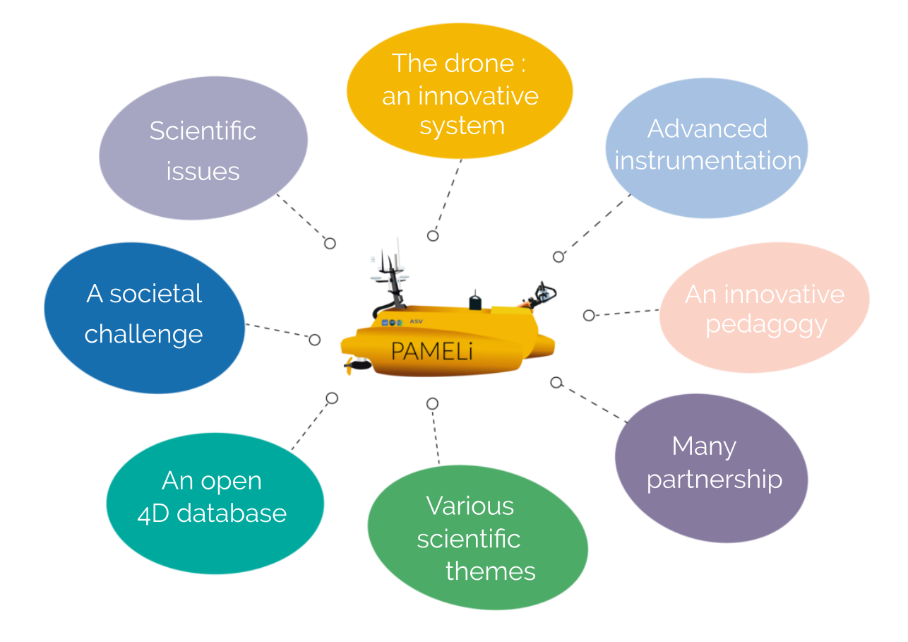
Scientific issues
- The coastline: A complex dynamic system, whose understanding requires an interdisciplinary approach
- Land-sea interface, sensitive area: a balanced socio-ecosystem threatened by climate change and increasing anthropogenic pressure on coastlines
- Land-sea continuum: some processes, those that take place in the depths of the earth, do not stop at the coastline... you have to be able to observe underwater as you observe on land.
- From space to the seabed
An innovative system: the drone
- Autonomous and intelligent navigation
- Multisensors
- Mutualisation
- Automation
Advanced instrumentation
- Cyclopée system for sea-surface mapping
- Multi-parameter probe
- Water Withdrawal
- Bathymetry
- Remote-controlled winch
Societal challenge with the LUDI project
- Connected coastal area
- Participatory Science
- Zero-carbon territory
- Opendata
A 4D database
- Opendata
- Web services
- Spatio-temporal/interdisciplinary geographic information system
- Interoperability
- FAIR
- Education
Various scientific themes
- Maritime Geography
- Ecology
- Geodesy
- Water Quality
- Litttoral dynamics
- Ecotoxicology
- Image analysis
- Sea level
- Wave transmission
An innovative pedagogy
Many partnership
The acquired data are recorded and saved on board the drone in a temporary database, before validation, transfer and archiving in a multidisciplinary database on land. The goal is to build over time a comprehensive and long-lasting spatio-temporal information system promoting the development of interdisciplinary research.
One of the stated objectives of the project is to be part of the long-term monitoring of our coasts imposed in particular by the context of current climate change, with a return to society, through interoperability of the database with other observation systems and the establishment of web services accessible to scientists but also to socio-economic actors. The city of La Rochelle and its university are committed to the development of a connected and zero carbon territory and the PAMELi project fits perfectly into this philosophy.
At the University of La Rochelle, the PAMELi project is supported by the LIENSs laboratory and we worked with the DT-INSU in Brest for the instrumentation of the drone. We are also working in coordination with the L3I laboratory (Computer Science, Image and Interactions Laboratory) which is also working on the development of marine drones (Jetskin), mainly from the point of view of computing, piloting, artificial intelligence and telecommunications.
The educational dimension of the project towards higher education, but also secondary education, is developed within the framework of the DroneEduc project (LRU with support from the Nouvelle Aquitaine Region) and the Argonautica program (CNES).