

Some key dates of the PAMELi project
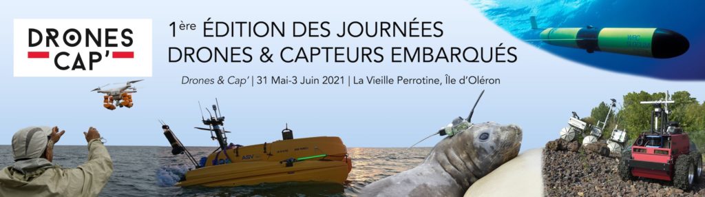
“Drones et Capteurs Embarqués” days
The Drones & Cap' network organise its first "Drones et Capteurs Embarqués" days, from 31 May to 3 June 2021, at the CNRS CAES centre "La Vieille Perrotine" on the […]
Saint Pierre d’Oléron, 17310 France
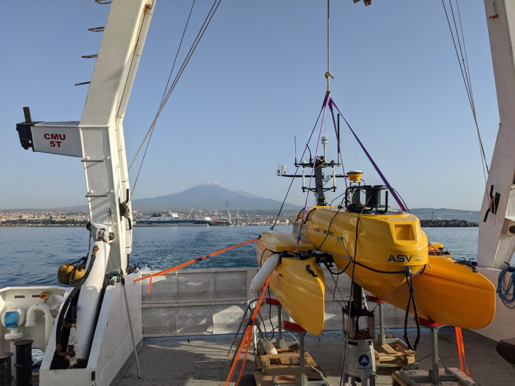
Field mission on the slopes of Etna
First geodetic mission for PAMELi on the slopes of Mount Etna to study the deformation of an underwater fault by combining GNSS and underwater acoustic signals (GNSS/A). This mission, FOCUS-G1, […]

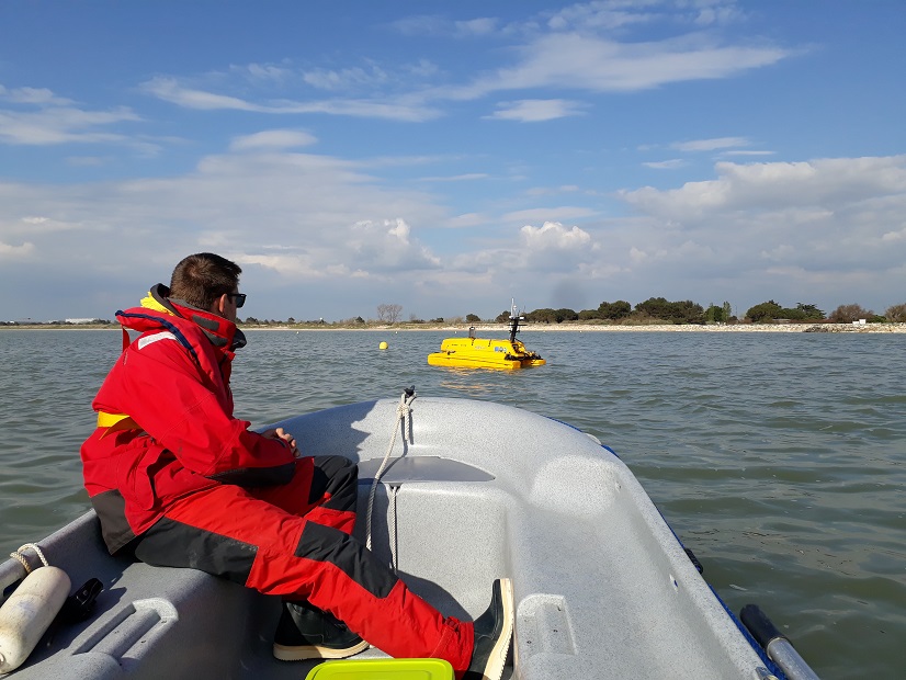
Field work with Master students
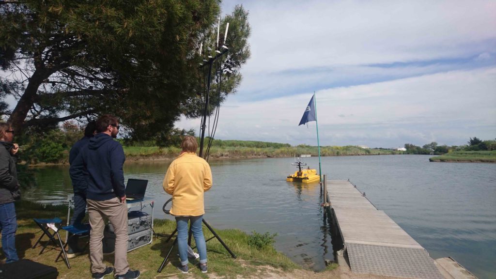
The students of the Master of Engineering program of La Rochelle University discover how PAMELi works during a field session in Aytre Bay.
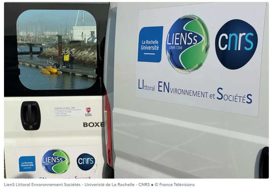
PAMELi on France 3 NOA !
LIENSs laboratory and PAMELi project are in the spotlight in this episod of "NOA sur Mer". More informations here 👉 https://france3-regions.francetvinfo.fr/nouvelle-aquitaine/charente-maritime/la-rochelle/noa-sur-mer-la-recherche-et-la-mer-1970743.html
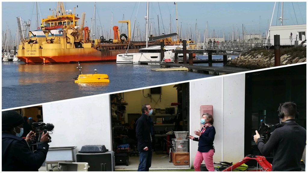
PAMELi’s team interview
Reporters of the program "NOA Sur Mer" for the French channel France 3 interviewed the LIENSs researchers and engineers about the research questions developped in the laboratory. The show will […]
NOVAQ 2020
The PAMELi team will be present at NOVAQ Festival (the Festival de l'Innovation en Nouvelle Aquitaine) from 29 to 30 November 2020 in La Rochelle. Come and meet us at […]
La Rochelle, 17000 France
Water sampling in Aytré Bay
As part of a study on the sources of faecal contamination in the Aytré Bay, new water samples were taken at the same points as during last April mission. […]
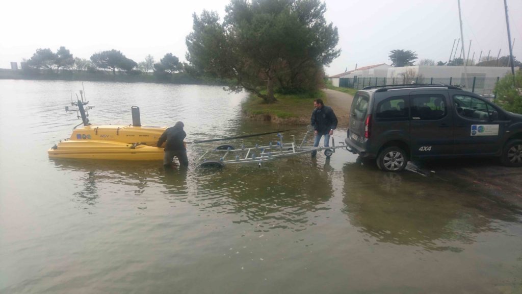
Model validation campaign
A PAMELi mission was organized at the end of July 2020 in the "Coureau d'Oléron", offshore Fouras near La Rochelle in France. The aim of this mission is to test […]
Drone consumption test
Drone consumption tests at the Angoulins nautical base : navigation along a profils at different speed to analyze PAMELi consumption data.
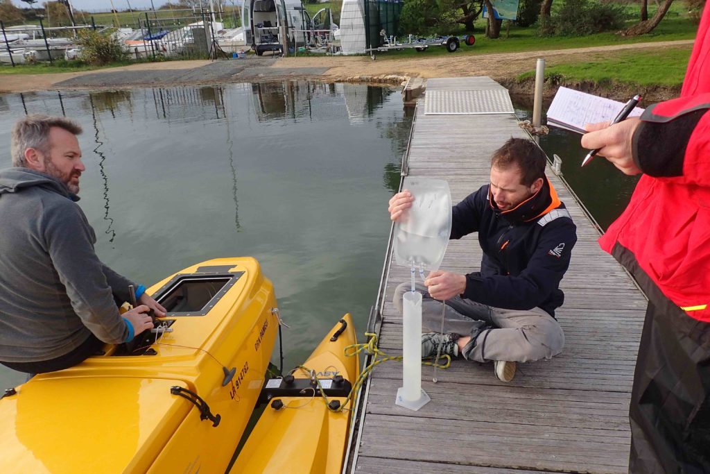
Water sampling in Aytré Bay
As part of a study on the sources of faecal contamination in the Aytré Bay, water samples were made with PAMELi and then analyzed at the LIENSs laboratory. Samples recovery […]

Water sampling system test
Validation of the water sampling system concept at the Angoulins nautical base.
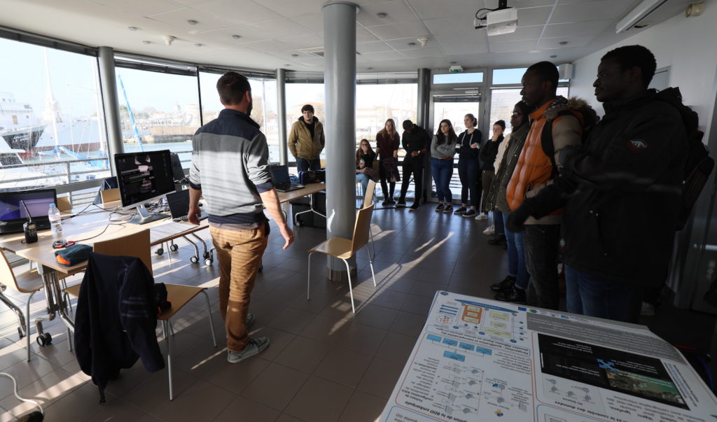
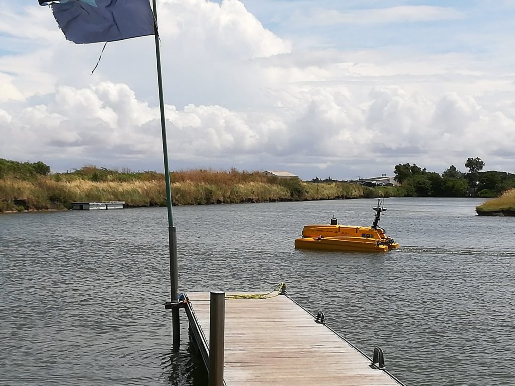
Bathymetric measurements & DroneEduc project
Bathymetric measurements were carried out in the port of La Rochelle. This demonstration also allowed La Rochelle University students to discover how PAMELi works as part of the DroneEduc project.
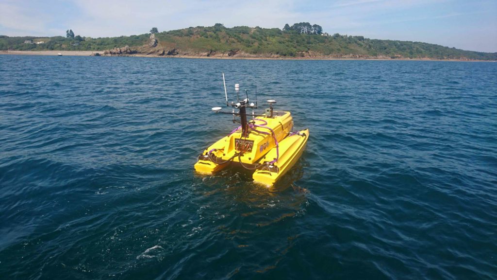
Sea bottom geodesy campaign
GNSS/Acoustics positioning campaign in Brest bay, in collaboration with IUEM and iXBlue.
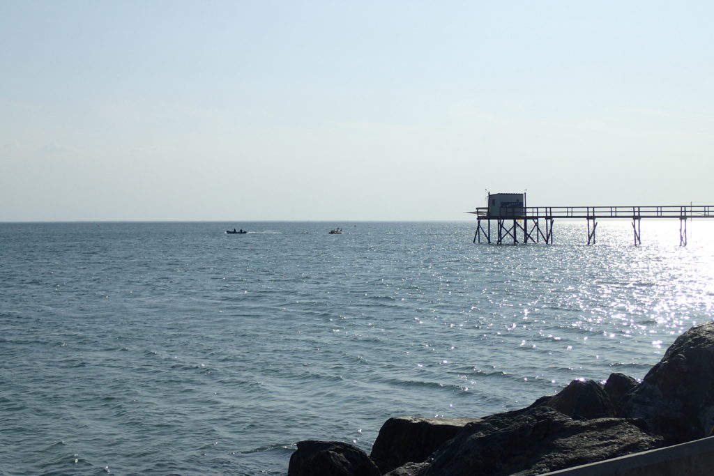
Sea-level mapping campaign
Sea-level mapping campaing organized in the Pertuis Charentais area.
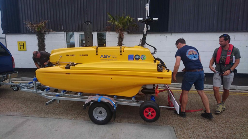
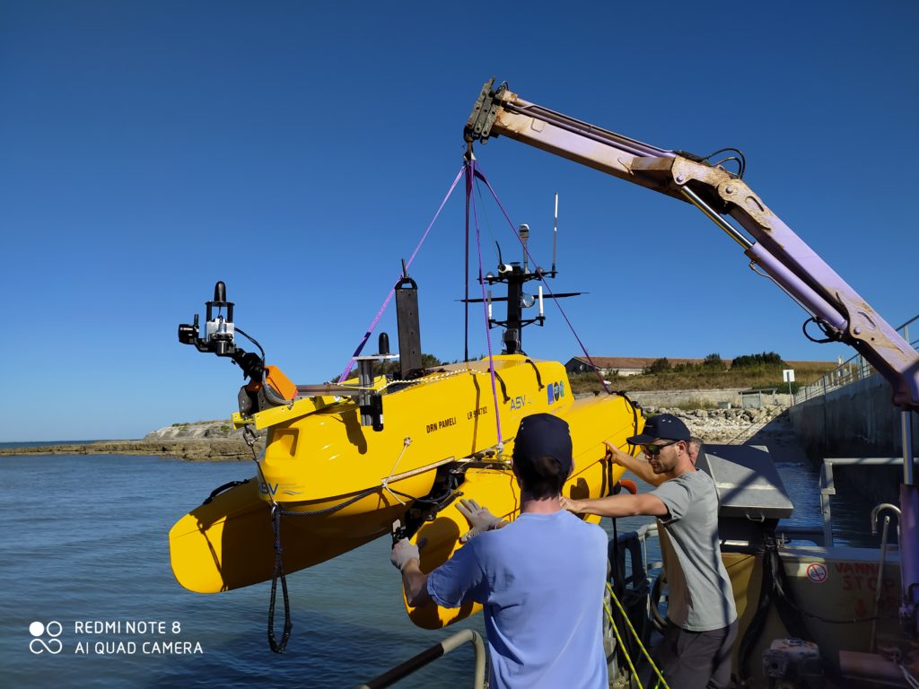
Selection of ASV company
The C-CAT3 catamaran from the ASV company (now L3Harris ASV) was selected for the PAMELi project following a public procurement procedure launched in May 2017 (submission of tenders in July […]
Beginning of the PAMELi project
Launch of the project in collaboration with the LIENSs, L3I and IUT-Telecom laboratories of La Rochelle University. Initially planned in partnership with a local industrialist, the project was finally carried […]