Skip to content
The Project
Scientific aims
PAMELi missions examples
project’s schedule
Integration in LIENSs and in the LUDI
Instrumentation
The vector
On-board instrumentation
IT Architecture / Databases
Education
The DroneEduc project
The Argonautica project
Team/Partners
The PAMELi Team
Scientific and technical collaborations
Funding Partners
Other contributors
PAMELI in practice
Regulatory framework
Access to PAMELi
Contact
PAMELi in press
Gallery
English
Français
(
French
)
Sea-level mapping campaign
Home
>
Events
>
Sea-level mapping campaign
« All Events
This event has passed.
Sea-level mapping campaign
27 June 2019 @ 8 h 00 min
-
17 h 00 min
«
Bathymetry tests at Angoulins nautical base
Sea bottom geodesy campaign
»
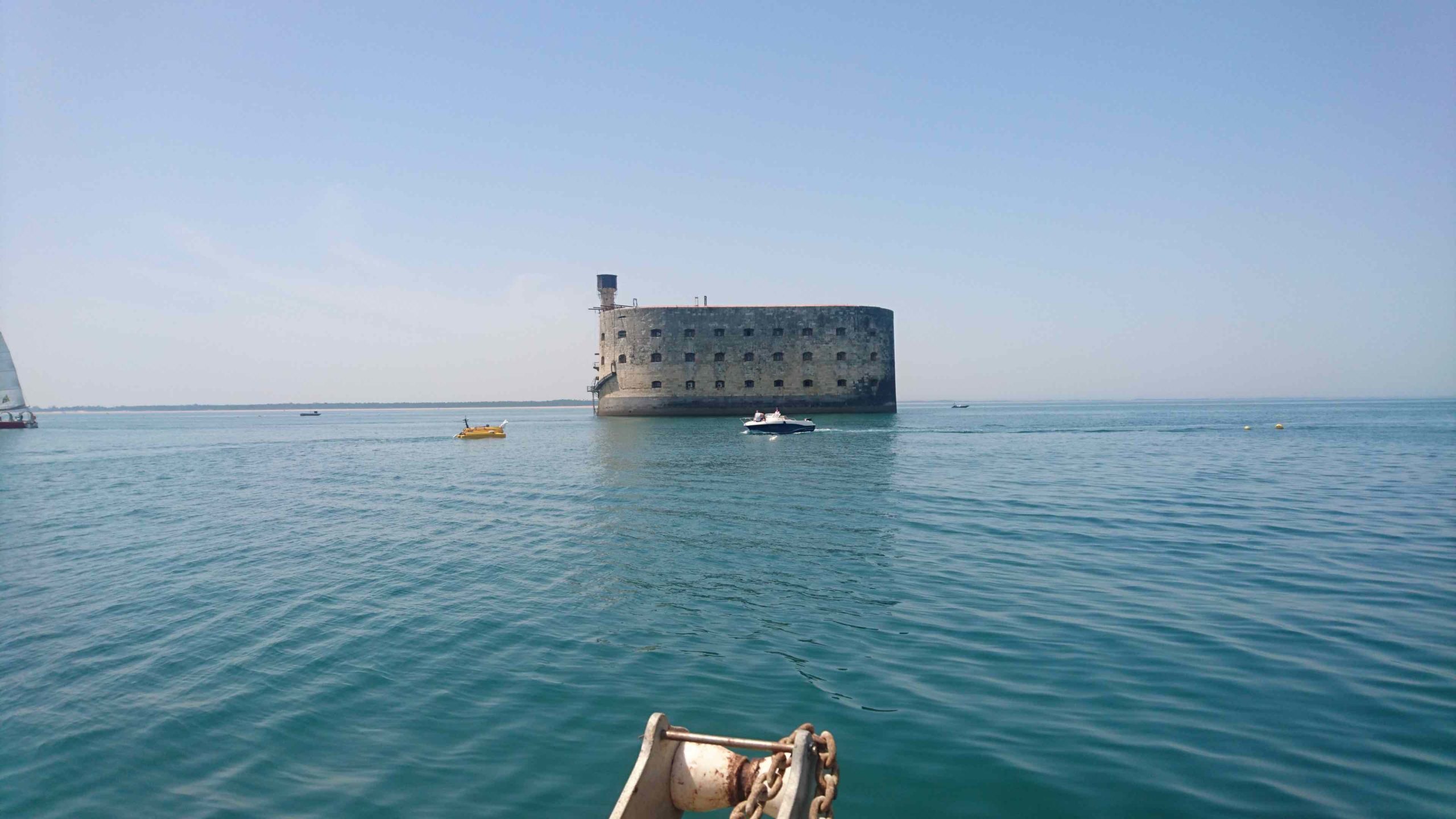
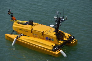
Sea-level mapping campaing organized in the Pertuis Charentais area.
Add to calendar
Google Calendar
iCalendar
Outlook 365
Outlook Live
Details
Date:
27 June 2019
Time:
8 h 00 min - 17 h 00 min